Winter Storm Warning: West Coast Storms Bring Sierra Snow, Rain and Huge Waves
By Eoin Villarin, 2026-11-15
A winter storm warning covers the Sierra Nevada until Tuesday with up to 20 inches of snow, while Pacific storms bring heavy rain and 30-foot waves to the West Coast.
Where is the winter storm and how bad will it be?
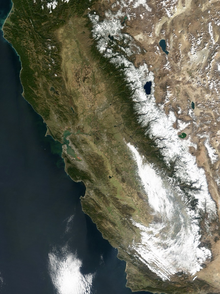
A series of Pacific storms is hitting the US West Coast. The National Weather Service has a winter storm warning for the Sierra Nevada above 6,000 feet until 4am PST Tuesday, November 17, 2026, with up to 20 inches of snow and gusts to 40 mph. The storms also bring 1 to 6 inches of rain and waves up to 30 feet on the Northern California and Oregon coast.
Key takeaways
- NWS winter storm warning for the Sierra Nevada above 6,000 feet until 4am PST Tuesday, November 17.
- Up to 20 inches of snow and 40 mph gusts; over 2 feet possible on Sierra peaks by the end of the week.
- Waves up to 30 feet nearshore, breaking to 50 feet at favored spots from Northern California to Oregon.
- Rain totals reach 3 to 6 inches in southern Oregon, far Northern California and the northern Sierra foothills.
- Another storm arrives around Wednesday, with storms every one to three days through the third week of November.
"Winter storm" is trending because a series of Pacific storms is hitting the US West Coast this week. The National Weather Service has a winter storm warning for the Sierra Nevada above 6,000 feet until 4am PST Tuesday, November 17, with up to 20 inches of snow and gusts to 40 mph. The storms are also bringing 1 to 6 inches of rain, waves up to 30 feet near the Northern California and Oregon coast, and more snow for the Rockies. A new storm is due around Wednesday. Here is the timeline, where it hits hardest and how to stay safe.
Winter storm at a glance
| Item | Details |
|---|---|
| Warning | Winter storm warning, NWS Hanford, Sierra Nevada above 6,000 feet |
| In effect | Issued November 14, until 4am PST Tuesday, November 17, 2026 |
| Snow | Up to 20 inches in the warning area; 1 to 2 feet in the southern Sierra by Monday night; over 2 feet possible on Sierra peaks by the end of the week |
| Wind | Gusts up to 40 mph in the Sierra |
| Rain | 1 to 2 inches Sunday; 3 to 6 inches storm total in southern Oregon, far Northern California, the northern Sierra foothills and Washington's Olympic Peninsula |
| Waves | Up to 30 feet nearshore, breaking to 50 feet at favored spots from Northern California to Oregon |
| Next storms | New storm near Northern California around Wednesday; storms every one to three days through the third week of November |
Day by day: what to expect
Sunday, November 15
Heavy rain and high-elevation snow reach Washington, Oregon and Northern California by morning, then spread from the Bay Area to western Montana by evening. Rain totals of 1 to 2 inches are expected, highest along the foothills. The biggest waves of the event hit the coast from Northern California to Oregon.
Monday, November 16
Rain and mountain snow shift into the Intermountain West. A storm that reaches Northern California on Sunday moves south toward Los Angeles on Monday, bringing Southern California up to about an inch of rain. The southern Sierra Nevada could see 1 to 2 feet of snow by the end of the day, and snow reaches the higher Rockies by evening. The Monday morning and evening commutes over the Sierra will be hit hardest.
Tuesday, November 17
The storm moves inland toward Las Vegas and Phoenix, with rain, snow and a slushy mix from the Four Corners to Montana. Soils near the coast are soaked from earlier rain, so the flood risk is higher than at the weekend. More snow falls on the Sierra Nevada and Cascades as cooler air arrives.
Wednesday, November 18 and later
The next storm makes landfall near Northern California, focusing heavy rain and mountain snow on the Sierra Nevada with lower snow levels. Another storm could bring snow from north to south across much of California from Wednesday to Friday, though its track is still uncertain.
Dangerous waves and coastal flooding
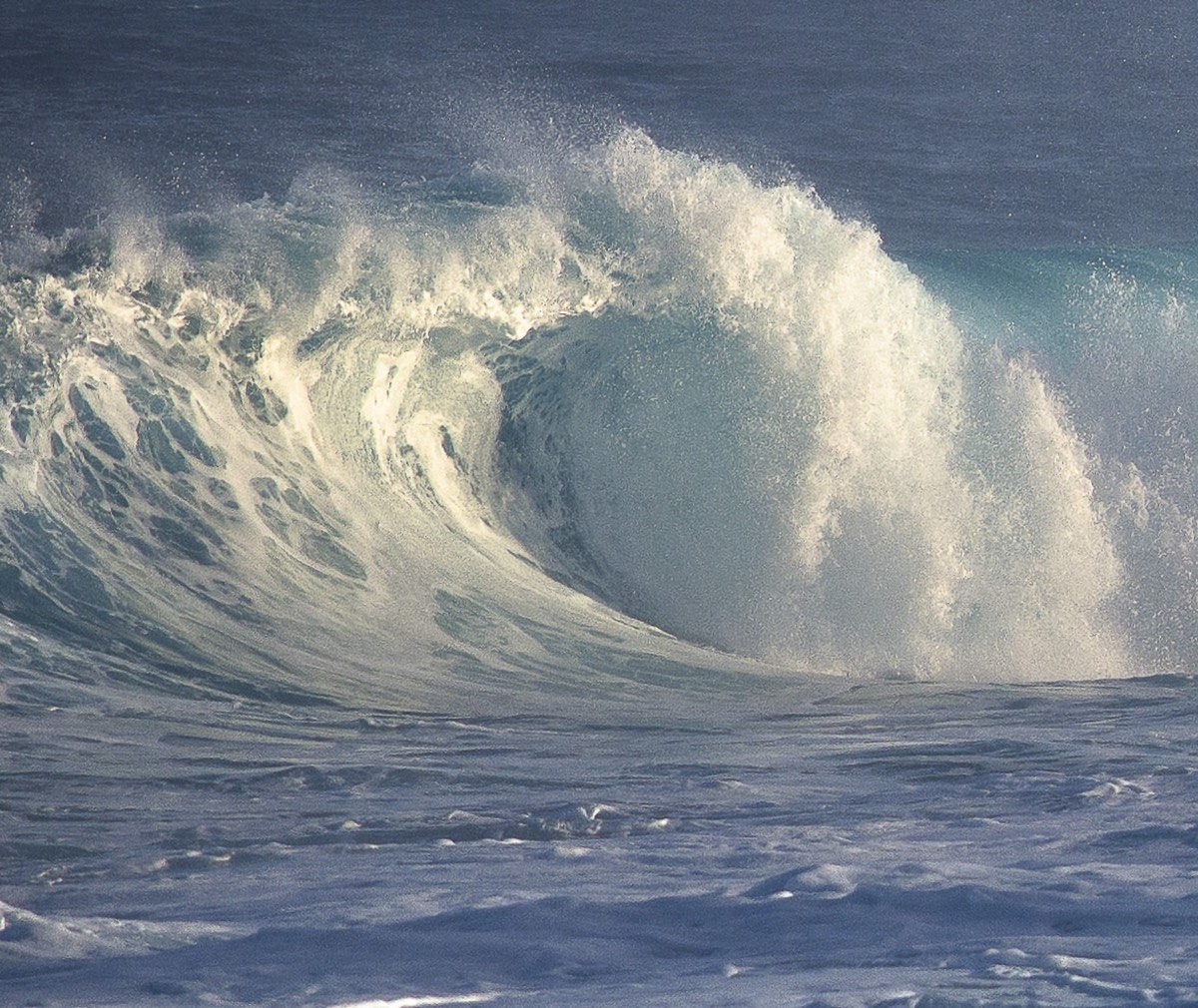
The surf is the most dangerous part of this storm series for people near the coast. The Weather Channel forecasts waves up to 30 feet nearshore, breaking as high as 50 feet in favored spots, mostly from Northern California to the Oregon coast. AccuWeather says offshore swells in some of the storms could reach 40 feet. The risk of rip currents and sneaker waves stays higher than normal through early this week.
The National Weather Service in Medford, Oregon put it plainly: "Mariners are urged to remain in port during this period of extremely dangerous weather." High tides combined with elevated water levels linked to El Niño could cause coastal flooding of several feet, and logs washed up on beaches can be thrown by breaking waves.
Is there a flood risk?
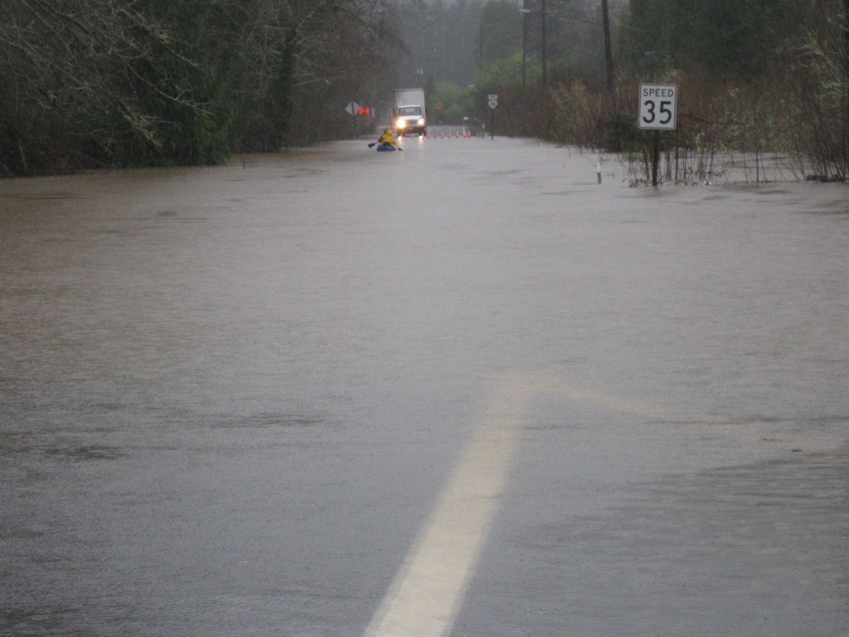
The first, stronger storm is not expected to cause widespread flooding. The risk rises with each later storm as the ground stays wet, especially near wildfire burn scars where debris flows can start quickly. The rain will also continue to ease drought in parts of the West and refill lakes and reservoirs over the coming months.
Travel: Sierra passes and mountain roads
- Delay travel over the Sierra if you can, especially on Monday. The NWS warns roads will be slippery, with bridges and overpasses especially hazardous.
- Check road conditions by calling 511 or using Caltrans QuickMap before you leave, and check chain control status for routes like Interstate 80 and US 50.
- Carry chains (or have a vehicle allowed through without them) and know how to fit them before you need to.
- Pack a winter kit: flashlight, food, water, warm clothes, a phone charger and a full tank.
- Never drive through flooded roads. A foot of moving water can float many cars.
Safety checklist
- Sign up for local emergency alerts and keep your phone charged.
- Stay off jetties, rocks and sea walls, and never turn your back on the ocean.
- Clear gutters and storm drains before the next round of rain.
- Keep space heaters away from anything that can burn, and never run a generator indoors.
- If you live below a burn scar, know your evacuation route and leave early if told to.
If you run a business in the storm area
Customers check Google before they drive anywhere in bad weather. If you close early or change hours, update your Google Business Profile with special hours, add a short banner to your website, and pin the update on your social channels. Make sure your site loads fast on a phone with a weak signal. If you need help keeping your site updated during closures, see my website maintenance service, and for tips on showing up in local searches read my guide to Google AI Mode SEO for small businesses.
Frequently asked questions
Where is the winter storm warning?
The National Weather Service in Hanford, California has a winter storm warning for the Sierra Nevada above 6,000 feet until 4am PST Tuesday, November 17, 2026.
How much snow will the Sierra Nevada get?
Up to 20 inches in the warning area, 1 to 2 feet in the southern Sierra by Monday night, and over 2 feet possible on the peaks by the end of the week as more storms arrive.
How big will the waves be on the West Coast?
Up to 30 feet nearshore and breaking as high as 50 feet in favored spots from Northern California to Oregon, according to The Weather Channel. Offshore swells could reach 40 feet in some storms.
When does the winter storm end?
The current warning ends at 4am PST Tuesday, but another storm is due near Northern California around Wednesday, and storms may arrive every one to three days through the third week of November.
Will Southern California get rain?
Yes. The storm moving south on Monday could bring up to about an inch of rain to Southern California, including the Los Angeles area.
Is it safe to drive over the Sierra this week?
The NWS advises delaying travel during the warning. If you must drive, check 511 or Caltrans QuickMap, carry chains and a winter kit, and expect delays and chain controls.
Sources
- The Weather Channel: Storms to batter West Coast with mountain snow, rain, waves
- The Weather Channel: Storms to batter West Coast with waves, rain and Sierra snow
- AccuWeather via Yahoo: Storm track split to send drenching rain, mountain snow into California
- National Weather Service Hanford, CA
- Caltrans QuickMap: live road conditions and chain controls
- Ready.gov: Winter weather safety